
Benefits of Becoming an International Cooperator
What It Means to Be an International Cooperator
The list below describes the benefits of becoming a participant in the Landsat International Cooperator (IC) Network. The Article references are from the Memorandum of Understanding (MOU) agreement.
- ICs are able to provide input to the Landsat scheduling system. While data acquisitions are primarily driven by the Long Term Acquisition Plan (LTAP), ICs have access to the interface for special acquisition and special campaign requests. (Article 3.A.1)
- ICs are able to receive a direct downlink of data from the spacecraft to respond quickly to any emergency data needs and best serve that IC's user community. A latency of several hours exists for the USGS to receive data over an IC's acquisition area using the onboard recorder and the Landsat Ground Network (LGN). Processing and distributing Level-1 data products takes several more hours within the USGS EROS Center. (Article 3.A.1)
- The onboard recorder on Landsat 8 could lose some capacity or fail completely. An IC's direct reception capability would already be in place to prevent a potential gap in regional Landsat coverage.
- By receiving the raw data from the spacecraft, ICs are able to process the data to any processing recipe or level. The USGS provides only one product type, and it relies on the Ground Control Points (GCPs) and Digital Elevation Models (DEMs) in the USGS library. An IC may have much more accurate information over its region, which could greatly improve the product quality and accuracy. Direct reception provides ICs with much more flexibility to do what best meets user needs.
- While the USGS strives to support the entire global user community, ICs are best equipped to meet local and regional user needs. This model provides the best user experience possible.
- ICs are able to participate in the Landsat Ground Station Operators Working Group (LGSOWG) and Landsat Technical Working Group (LTWG) meetings. These working groups meet annually and provide access to a network of individuals with Landsat expertise from both the USGS and the participating ICs from around the world. Beyond staying current with the existing Landsat operations and new mission development, these meetings form a critical venue for IC input and influence into future USGS and Landsat planning. (Article 4)
- ICs are able to engage with the USGS (and other ICs) in special technical and scientific collaboration opportunities. The full range of opportunities varies, but ICs have collaborated on forest carbon monitoring, Essential Climate Variable (ECV) development, cloud-free image mosaic development (e.g., Web-Enabled Landsat Data (WELD)), data processing, application development, and ground processing system architectures. (Article 5)
- ICs are able to access technical documentation and ground system software source code. As such, there is ready access to implement Landsat processing capabilities individually or through a chosen vendor. Local customizations to the code can also be made to best meet IC user needs. An online User Forum is also available for collaboration across the IC network and with the USGS on a wide variety of technical topics. (Article 11)
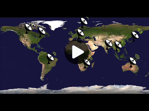
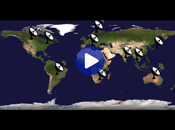
This video explains what it means to be an International Cooperator.
Draft Agreement Package
Contact Us
For organizations interested in pursuing direct access to Landsat 8 or Landsat 9 via data downlink, please contact landsat_ic@usgs.gov for more information.