
Please visit https://landsat.usgs.gov/IGS/igs-network/ to view this information and other specifics about Landsat International Ground Stations.
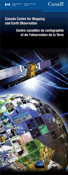
Canada Centre for Mapping and Earth Observation (CCMEO)
![]()
Station Country: Canada
Station Website:
http://www.nrcan.gc.ca/earth-sciences/geomatics/satellite-imagery-air-photos/...
http://www.nrcan.gc.ca/earth-sciences/geomatics/satellite-imagery-air-photos/...
The Canada Centre for Mapping and Earth Observation (CCMEO) of Natural Resources Canada operates a remote sensing program. CCMEO works in co-operation with other agencies of the Government of Canada, provincial governments, industry, and Canadian universities. It is responsible for the acquisition and archiving of Earth observation data and for the development of remote sensing applications, related methodologies and systems. CCMEO is located in Ottawa and operates satellite data receiving stations in Prince Albert, Saskatchewan, Gatineau, Quebec and Inuvik, Northwest Territories.
CCMEO has been receiving, archiving and distributing LANDSAT data since 1972. Near-real time and historical LANDSAT data of Canadian territory is directly accessible from USGS.
CCMEO and other Canadian public & private sector entities are engaged in the distribution of value added LANDSAT data products and services.
For more information on CCMEO, please see:
http://www.nrcan.gc.ca/earth-sciences/geomatics/satellite-imagery-air-photos/10782
Station Organization: CCMEO
Ground Station Location: Prince Albert, Canada
Ground Station ID: PAC
Station Lat Long: POINT (53.2125 -105.9336)